
The United Nations General Assembly has backed a resolution encouraging the use of the Equal Earth map projection, a cartographic system designed to represent the relative sizes of continents more accurately than the widely used Mercator projection.
The resolution, spearheaded by several African countries, was adopted on Friday with the support of 164 countries, while the United States voted against it and six countries abstained.
The resolution described Equal Earth as “a relevant option for improving the accuracy of the cartographic representation of the world” and urged UN member states to consider adopting it in place of the traditional Mercator projection.
The Mercator projection, created by Flemish cartographer Gerardus Mercator in 1569, was designed primarily for maritime navigation. While it preserves shapes and angles useful for navigation, it significantly distorts the relative sizes of landmasses, particularly those closer to the poles.
As a result, regions such as Europe, North America and Greenland appear much larger than they actually are in relation to Africa, South America and other areas closer to the equator.
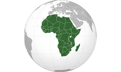
Africa, despite being one of the world’s largest continents by land area, consequently appears considerably smaller on conventional Mercator maps than it does on equal-area projections.
The Equal Earth projection, developed by a group of cartographers in 2018, seeks to correct that distortion by preserving the relative surface areas of countries and continents while maintaining shapes that resemble their appearance on a globe.
One of its creators, Bojan Savric, previously explained that the projection preserves the relative surface areas of continents and attempts, as far as possible, to show their shapes as they appear on the globe.
Togo’s Foreign Minister, Robert Dussey, whose country played a leading role in advancing the resolution, said maps have consequences beyond geography because they influence education and public perceptions of the world.
“Maps guide education, nourish the imagination, and influence collective perceptions,” Dussey said.
“They are therefore never neutral. When they present a distorted image of our planet, they risk perpetuating inaccurate representations that are passed down through generations.”
The United States opposed the resolution, arguing that the General Assembly should focus on what it considered more pressing global issues.
US representative Yaryna Ferencevych criticised the initiative before the vote, saying discussions about centuries-old map projections were among the reasons the institution was losing credibility.
France, however, co-sponsored the resolution and announced that it would abandon the Mercator projection.
France, however, co-sponsored the resolution and announced that it would abandon the Mercator projection.
French Foreign Minister Jean-Noel Barrot said the traditional map gives countries such as the United States, Russia and China disproportionate visual prominence compared with Africa, Latin America and Southeast Asia.
He pointed to Greenland as a striking example, noting that on the Mercator projection it appears almost comparable in size to Africa despite the enormous difference in their actual land areas.
“Changing maps obviously doesn’t change the world,” Barrot said. “But correcting a distorted representation is already an act of truth.”
The initiative does not change the physical size or boundaries of any country or continent. Rather, it seeks to promote a map projection that more accurately reflects the relative land areas of different parts of the world.
The resolution also carries a broader symbolic significance for African countries that have long argued that conventional world maps visually diminish the continent in comparison with Europe and North America.